Format
TiFF
Type of resources
Topics
Provided by
Years
Formats
Representation types
Scale
pubblicaAmministrazione
From
1
-
1
/
1
-

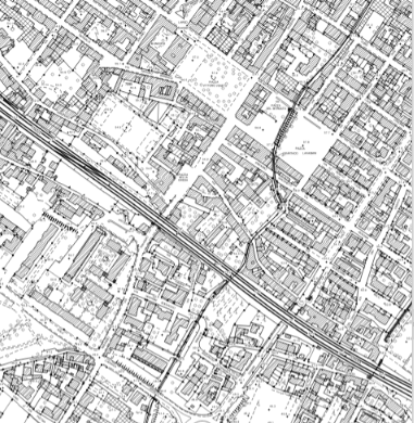
La Carta Tecnica Regionale (C.T.R.) in scala 1:5.000 rappresenta il territorio, sia gli elementi naturali (idrografia, forme terrestri, vegetazione, orografia) che quelli antropici (infrastrutture, edifici e altre strutture) oltre riportare la toponomastica. Realizzata dal 1988 al 1997 non è attualmente in produzione.
 Regione Toscana - Metadati territoriali